
Fort William Guided Hikes
Mountain Routes
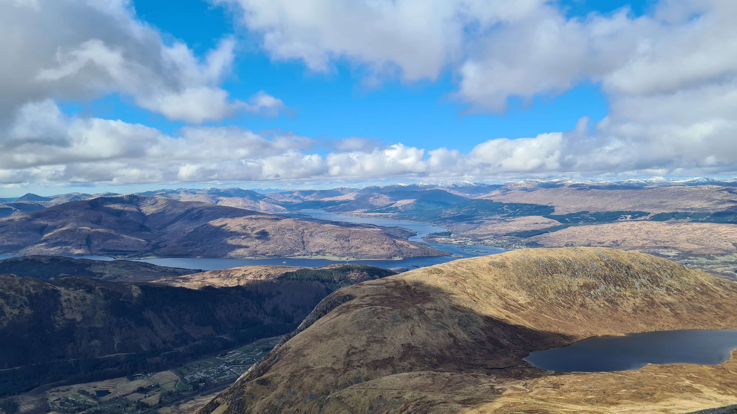
Fort William is synonymous with Ben Nevis but The Mamores has some of the finest mountain hiking in Scotland.
Here’s a selection of hikes around Fort William. If you don’t see anything that interests you, or you have a specific route in mind get in touch.
Guided Hike Prices | Fort William Short / Moderate Hikes
Ben Nevis via the Mountain Path

Distance: 14km / 8.7 miles
Ascent: 1,335m / 4,380 feet
Duration: 5-8 hours
Summits: 1 Munro
Terrain: path
Difficulty: moderate to hard
The highest mountain in the UK is physically demanding but not technically difficult via the mountain path.
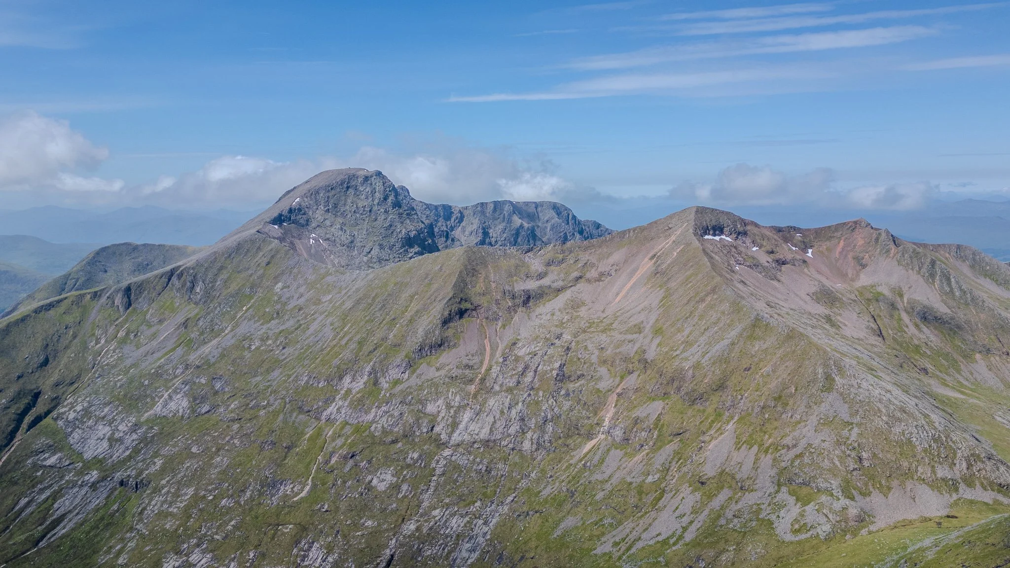
Ben Nevis via the CMD Arête

Distance: 15km / 9.3 miles
Ascent: 1,505m / 4,938 feet
Duration: 6-8 hours
Summits: 2 Munros
Terrain: scrambling & arete
Difficulty: hard
The Càrn Mòr Dearg (CMD) horseshoe arête is undoubtably the finest walking route up Ben Nevis. You’ll need to have some prior experience.
Ring of Steall

Distance: 18km / 11 miles
Ascent: 1,820m / 5,971 feet
Duration: 7+ hours
Summits: 4 Munros
Terrain: scrambling & arete
Difficulty: very hard
A challenging, but highly rewarding route that “bags“ four Munros and involves lots of ridge walking, plus the Devils Ridge arete. This route includes Steall Falls and the wire rope bridge.
Lochaber 4000’s
Distance: 17km / 10.6 miles
Ascent: 1,450m / 4,757 feet
Duration: 7+ hours
Summits: 4 Munros
Terrain: scrambling & arete
Difficulty: very hard
A truly memorable day in the mountains bagging all four Munros in Lochaber over 3000ft (915m). The route tackles both watershed and Càrn Mòr Dearg arêtes before summiting Ben Nevis.
We’ll take the gondola (tickets are extra) to 650m.
Fort William Multi-Day Hiking Packages
If you’re interested in a bespoke, multi-day walking package in the Fort William / Glen Nevis area, contact me to discuss options.